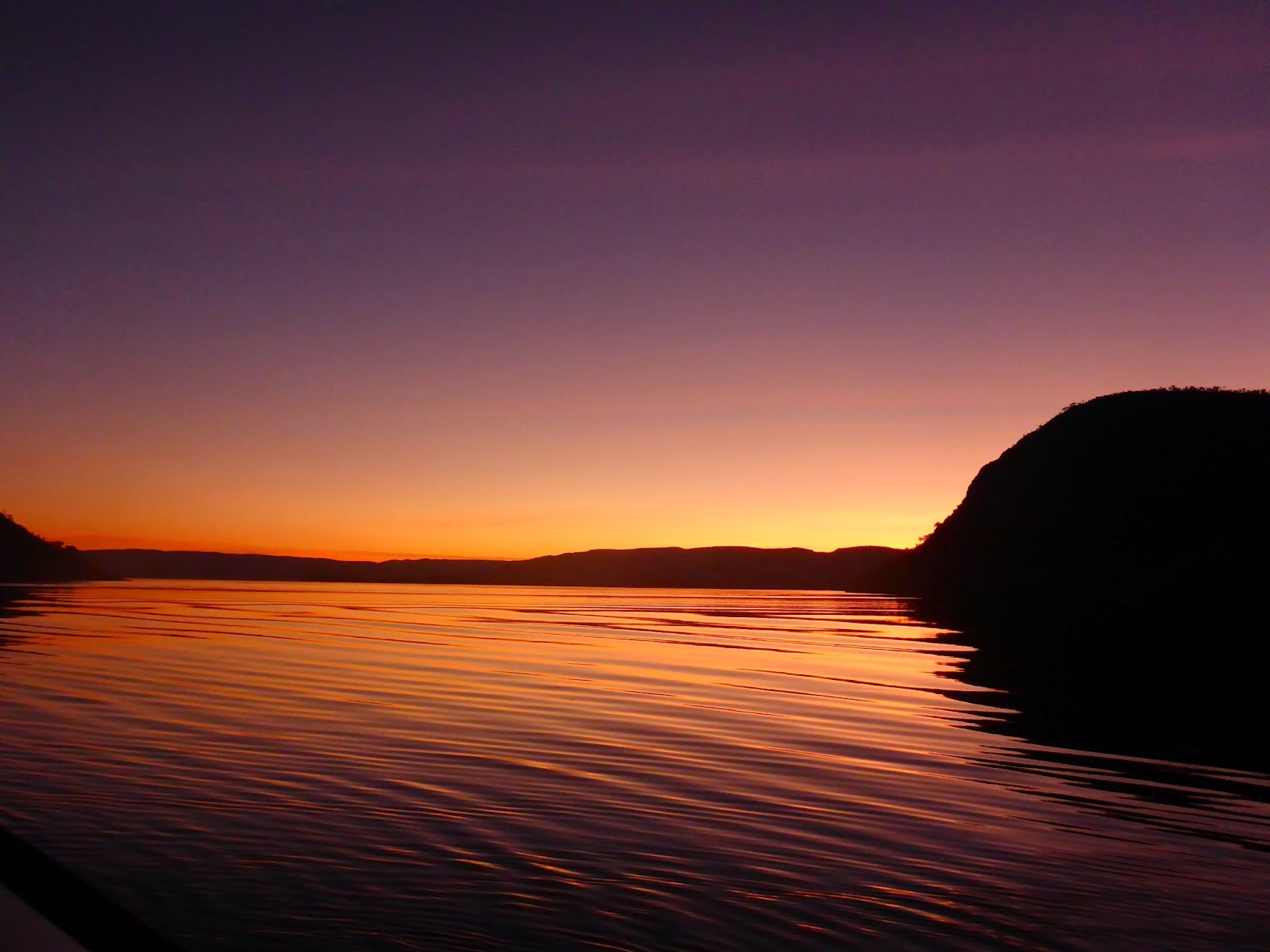
Timber Creek is the first little settlement in NT coming from the west, it is right on the Victoria River and provided us an ideal overnight stop before crossing the river at Victoria River Roadhouse and then on to Katherine.
 The star attraction at Katherine is undoubtedly the famous Katherine Gorge which was renamed “Nitmiluk”(meaning “cicada place”) in 1989 when traditional owners, the Jawoyn Aboriginal people gained title to this land. The easiest way to see the gorge is to take a tour with Nitmiluk Tours which is a 100% Indigenous owned organization and the sole tour operator within this national park.
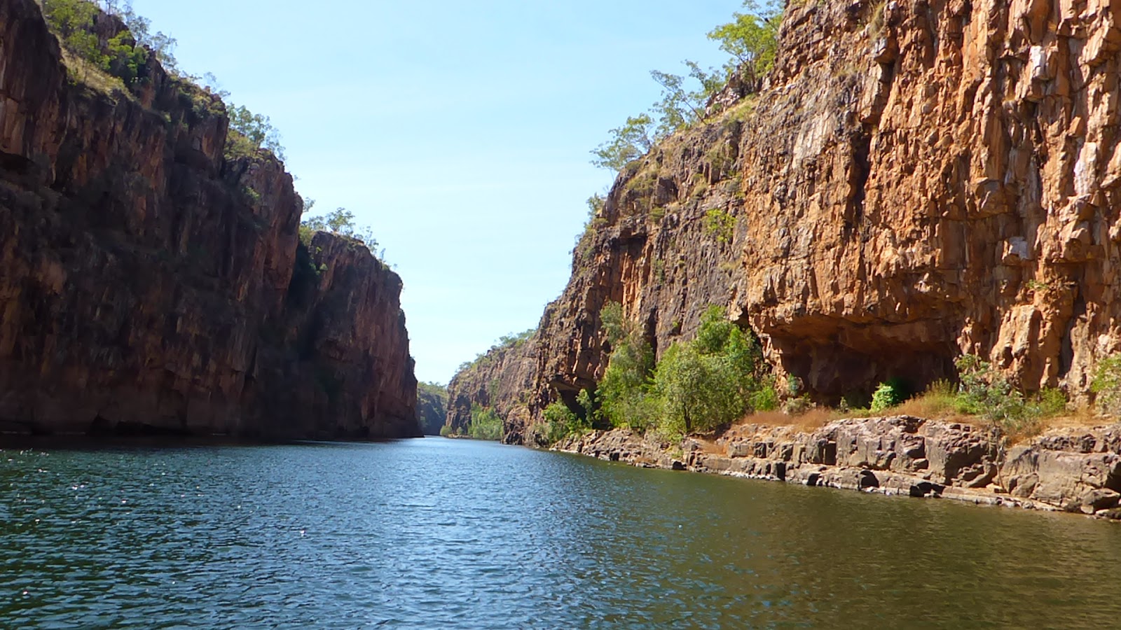 Nitmiluk Gorge is a maze of waterways sculptured from the sandstone over countless years by the Katherine River, and consists of 13 separate gorges as it winds its way along 12 kilometres of sheer rock cliffs, most of which are more than 70 metres high.
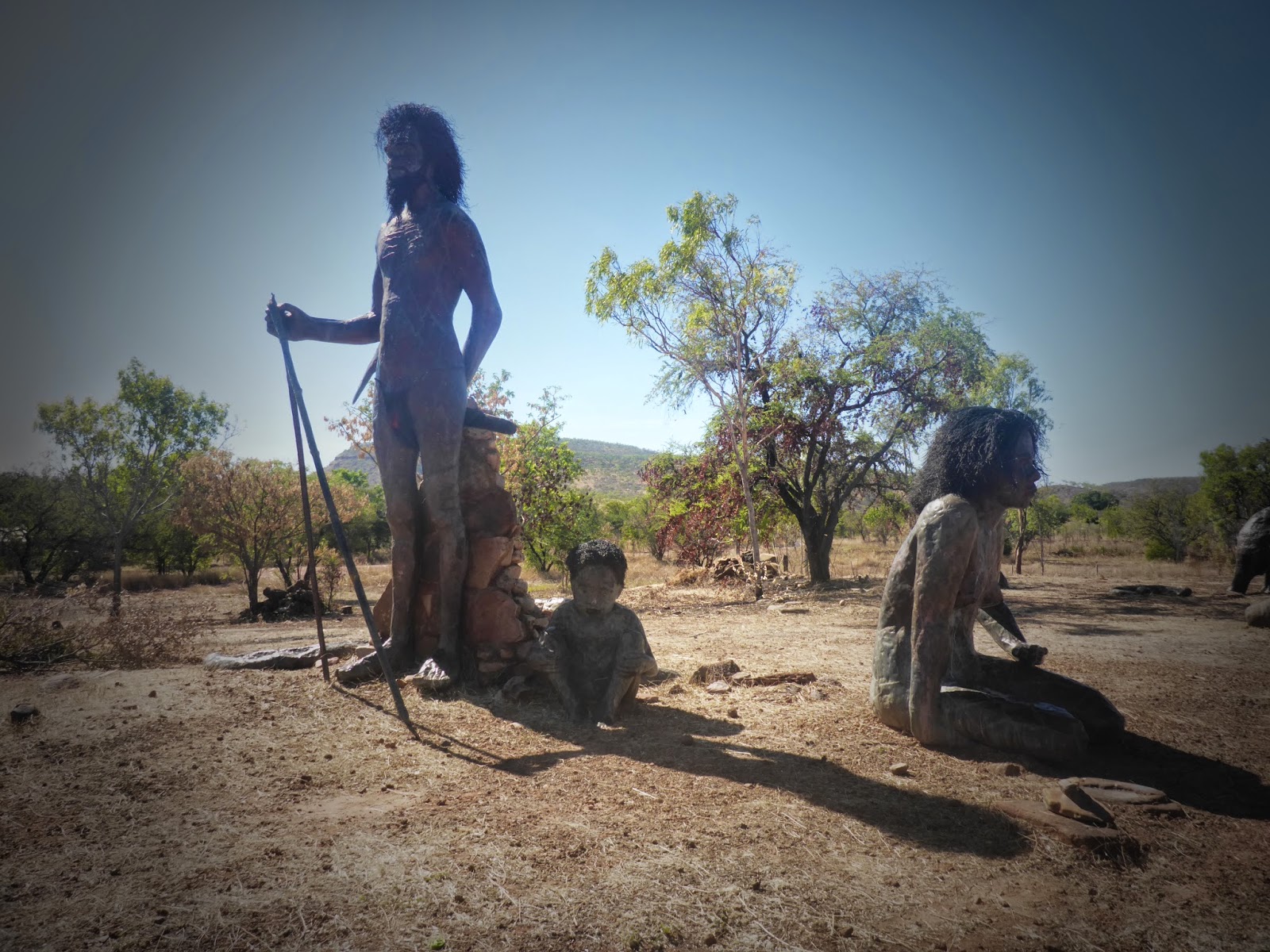
 During the current dry season, the river is very shallow in places and there is no water passage between the separate gorges, so the tour operators have boats stationed up river from each blockage. The tour took us through the first gorge and then we had to disembark the first boat and walk about 600 metres over the rocks along the river bank to the water of the second gorge. We passed these rock paintings along the way.
 The next boat then took us up river into the second gorge which was more spectacular than the first. The river is a haven for fresh water crocodiles which are currently preparing to lay their eggs along the sandy banks of the river.
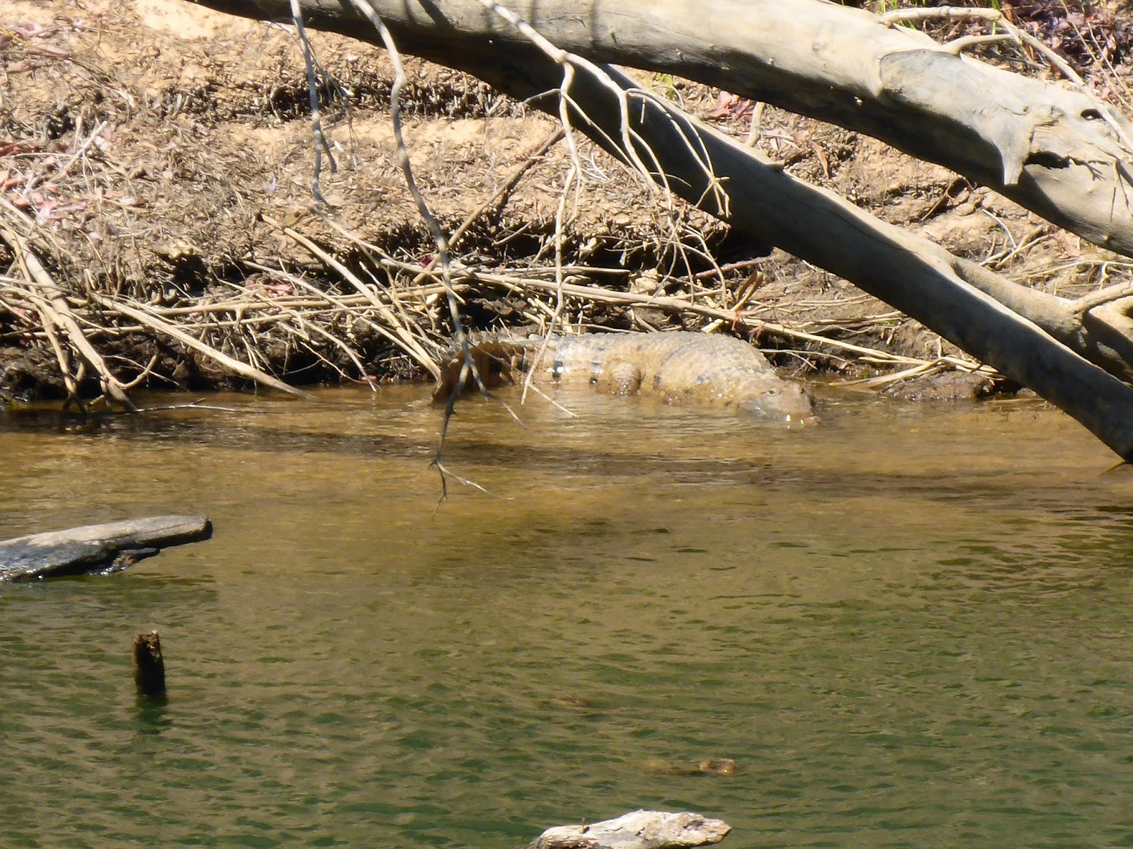 We were lucky enough to see 4 or 5 as we traveled along the river. Salt water crocodiles only enter this part of the river during the wet season and the park ranges have a busy time trapping them to keep this section of the river safe for swimming and other water activities. The lesser known attraction of Nitmiluk is Leliyn or Edith Falls as previously named.
 These falls are about 52 kilometres north east of Katherine on the Edith River and the pandanus fringed plunge pool offers a great place to cool off with a swim in beautiful clear cool water. The pool was about 5 feet deep while we were there and you could clearly see the bottom of the pool while standing in the water, another of those beautiful places that we came across unexpectedly.
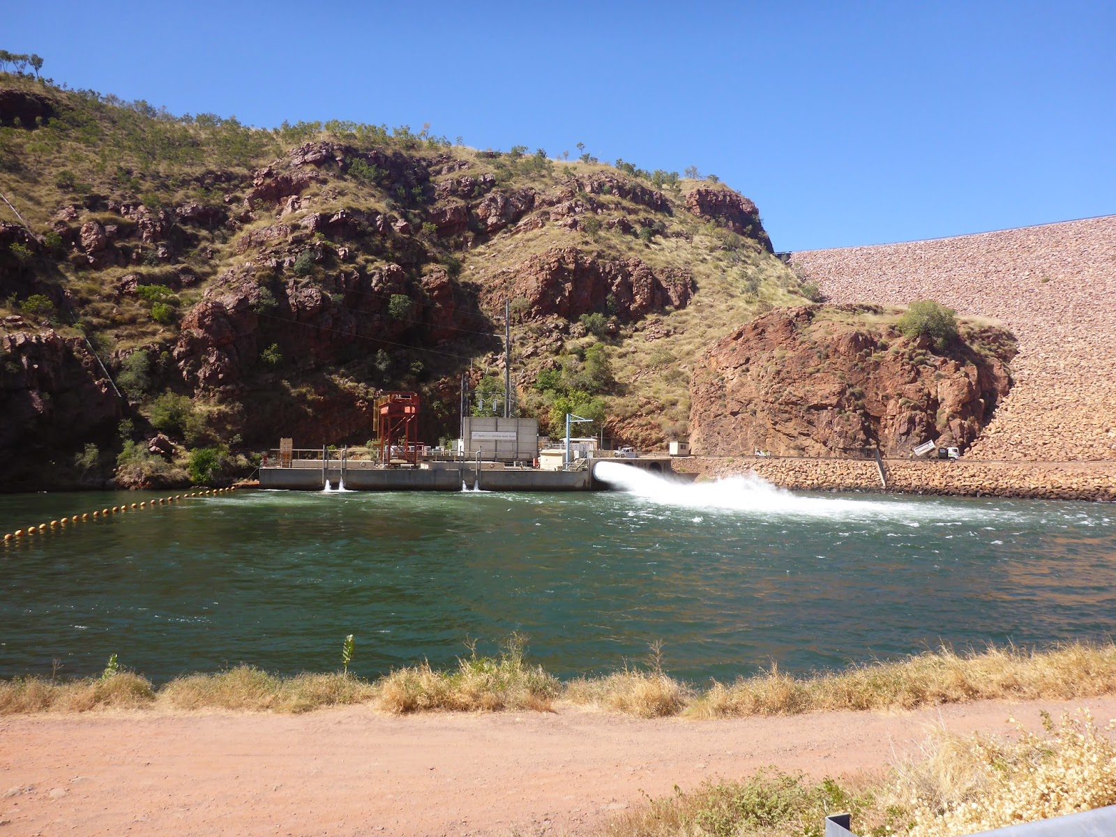
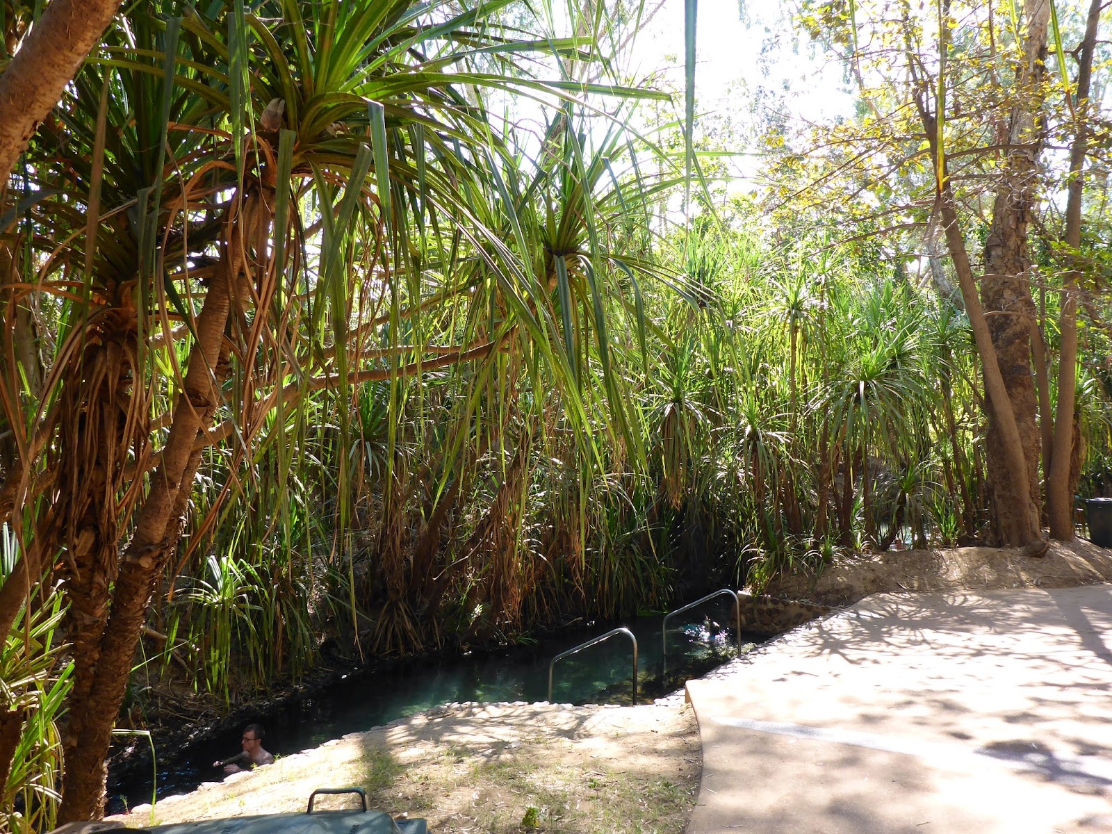 The opposite of the cool water of Leliyn is the warm waters of the Katherine Hot Springs where the crystal clear waters are at an idyllic temperature of 32 degrees. The spring which winds its way through a number of tree lined pools and out into the Katherine River makes a great place for a swim.
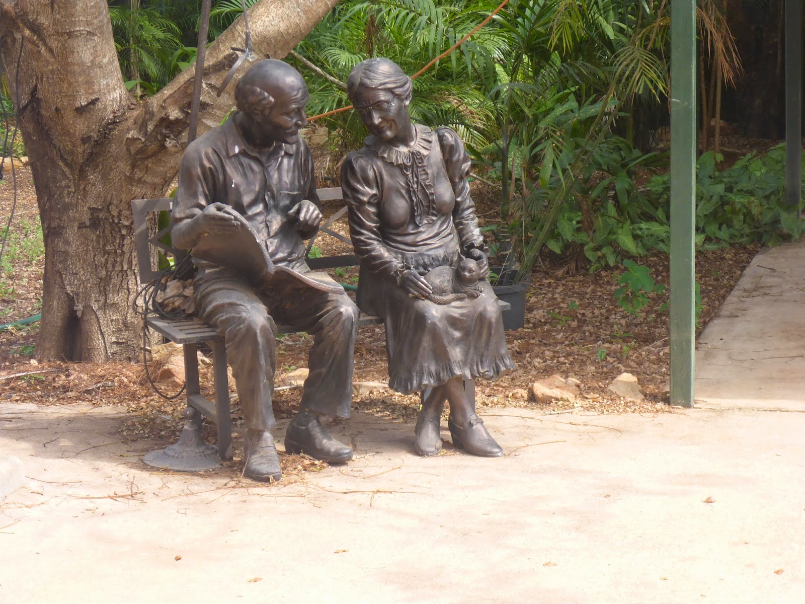
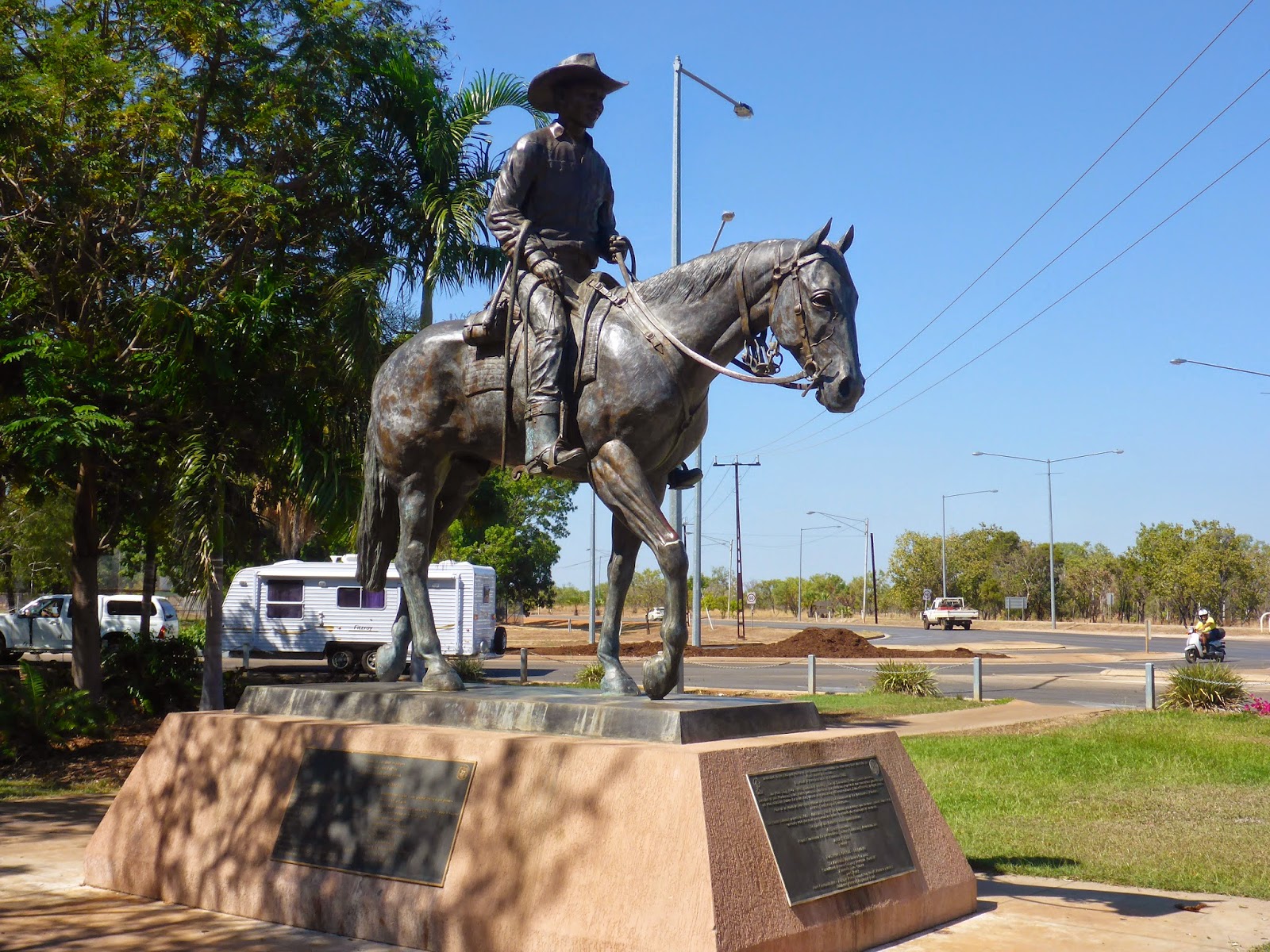 The Northern Territory pastoral industry generates more than $300 million directly and $880 million in directly into the Northern Territory economy. This magnificent one and a half times size bronze statue acknowledges the industry forebears, salutes those who currently work the land and encourages others to cherish the challenges of tomorrow. With the school holidays on for a month in the NT, we found that all caravan sites in Darwin were booked out until the last week of July, so we had a couple of weeks to fill in between Katherine and Darwin. We headed west again for about 100 kilometres from the Stuart Highway into a little settlement on the Daly River. All reports were that the fishing was good and the caravan parks had room available.
 We stayed at the Banyan Farm Tourist Park which is right on the river and has plenty of shade and surrounded by pandanus ferns. We were warned to keep back from the river as there was a 5 metre salt water crocodile captured and removed from their boat ramp the week before. We were also told that the river was full of bull sharks which surprised us as the park is about 90 kilometres upstream from the mouth of the river.
 Some of the other fisherman in the park with boats told of catching fish and only landing the head as a crock or shark took the rest as they were reeling it in. Needless to say we didn't put the Zodiac in the water for fear that the crocks would use it for a teething ring. I only caught a lousy cat fish, but it was a bit of fun anyway.
 Heading back towards Darwin again we stopped at the lovely little oasis of Adelaide River, which is home to "Charlie" the water buffalo made famous by the Crocodile Dundee Film.
More importantly, It is also steeped in WW2 history. During the Second World War, the Northern Territory contained the largest operational base in the South West Pacific. Darwin, the capital, became a naval base and suffered its first air attack on 19 February 1942.
 Within a month of the first air raid, Darwin became the heart of this important operational base. From its airfields around Adelaide and Batchelor, the Royal Australian Air Force raided Timor, Dutch New Guinea, Borneo and islands in the Arafura Sea. Both Adelaide River and Alice Springs were the headquarters of large base establishments and the main north–south road from Darwin to the rail head at Alice Springs was built during the war.
 During the Second World War, Adelaide River was the headquarters of a large base and the Adelaide River War Cemetery was created especially for the burial of servicemen and women who died in this part of Australia. After the war, the Army Graves Service moved graves from civil cemeteries, isolated sites and temporary military burial grounds, into the Adelaide River War Cemetery. There are 434 burials, comprising 14 airmen of the Royal Air Force, 12 unidentified men of the British Merchant Navy, one soldier of the Canadian Army, 18 sailors, 181 soldiers, 201 airmen belonging to the Australian forces, and seven men of the Australian Merchant Navy. This war cemetery is the third largest in Australia, it is absolutely impeccably maintained and it is a moving experience to walk through the grounds and read the tomb stones, with so many of the dead being men and women of a very young age.
 Berry Springs just south of Darwin is home to the Territory Wildlife Park, where the NT government have turned some virgin bush land into a wonderful natural setting to house birds, fish and animals in their natural surroundings. We saw the Birds of Prey show at the Flight Deck which showcased raptors, (birds that catch their food with their feet).
 The owls and osprey were great but the highlight of the show was the red kite which used a stone he picked up in his mouth to break open an emu egg. These are the only birds known to use tools to gather food.
 Next was the aquarium where they have a large salt water crocodile as well as a big variety of fish, including the illusive barramundi. The Monsoon Forest Walk starts with a monsoon that includes thunder and lightning and pouring rain that really makes you think it is the real thing. The walk then continues for about a kilometre which takes you through various bird aviaries and into one of the largest domed walk through aviaries in the southern hemisphere.
 We were very pleased to see that one of the aviaries had a pair of Gouldian Finch which had recently hatched out 5 young. In 1992, these birds were classified as "Endangered in the wild” because the viable population size was estimated to be less than 2,500 mature individuals. This finch was found all across the top of Australia some years ago and we have been trying to find one since we first read about its plight when we were in Wyndham. Fortunately, these finches breed well in captivity, so with a good breed and release program, places like this wildlife park will ensure that this beautiful little bird doesn't become extinct. Once again a good photo was hard to get so this one is from the internet. Litchfield National Park has played second fiddle to Kakadu for many years, but following many recommendations from other travelers, we decided that we were too close not to take a look, and we weren't disappointed.
 Batchelor township, which lies at the gateway to the park, began to flourish in 1949 with the discovery of uranium at Rum Jungle. This was Australia’s first uranium mine and became one of the greatest economic influences on the subsequent development of the Top End.
 First stop within the park is the Magnetic Termite Mounds. There are 2 types of termites here in the Top End and both build very different types of mounds. The magnetic termites, which are not found anywhere else in the world, build their mound exactly north and south in the black soil of the flood planes with their flat sides then facing exactly east and west. This is a marvelous feat given that these termites are completely blind so they can’t use the sun to guide them. Scientists proved their theory that the termites have a built in compass by placing strong magnets beside the mounds away from the north / south direction, and the termites dutifully followed and built repairs to their mound in the alignment of these magnets.
 The other termite here is the Cathedral termite which build their mounds on well drained soil. These mounds can be up to 5 metres tall and take up to 50 years to build, which is very impressive achievement for a 5 mm long termite.
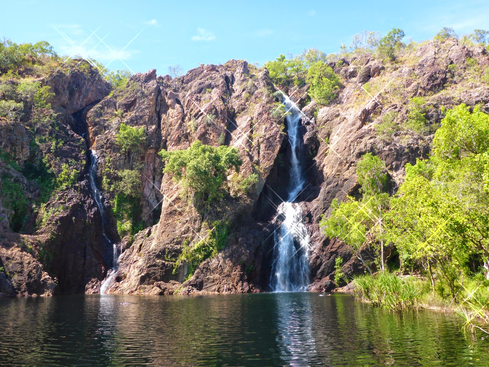
 Continuing further into the park we came across Florence Falls which were easily viewed from a well constructed platform on the opposite side of the creek. There is a walk along a 1.2 kilometre track or down 135 steps to get to the pool at the base of the falls.
 We gave that a miss in the 32 degree heat and went on to our picnic lunch spot at Bluey Rockhole where we sat on a creek crossing and dangled our feet in the cool water surrounded by pandanus and other palms.
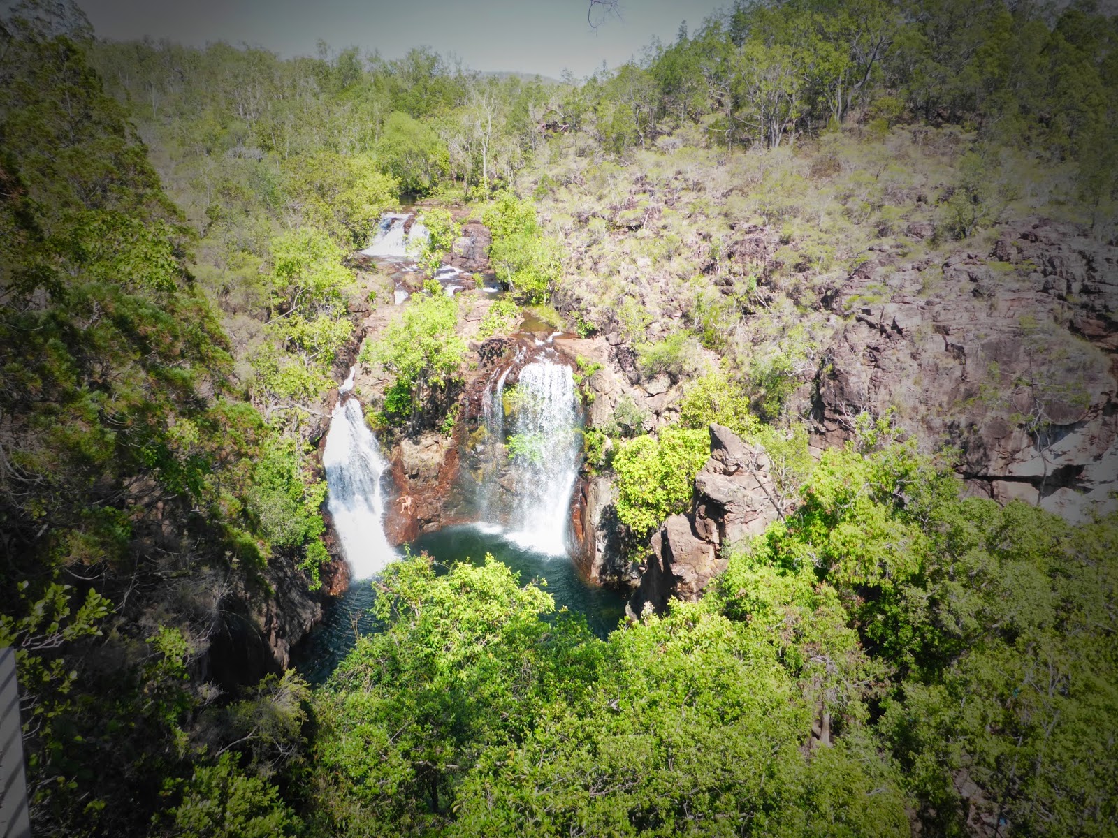
 Our last stop for the day was another 30 kilometres further into the park at Wangi Falls which is another one of those unforgettable “wow” moments on our trip. The car park at Wangi Falls is only about 250 metre walk from the pool and viewing platform at the base of the falls.
 Wangi Falls is fed from a spring in the dry season and its water spills over the sandstone cliffs of the Tabletop Plateau down into the plunge pool about 150 metres below. The pool has cool, crystal clear water and black bream or sooty grunter can be seen swimming around the edges looking for food. This is a safe swimming pool during the dry season as only a few small fresh water crocodiles inhabit this area, but the pool is closed to swimming during the wet season as the extra water flow makes dangerous currents and saltwater crocodiles manage to find their way in here.
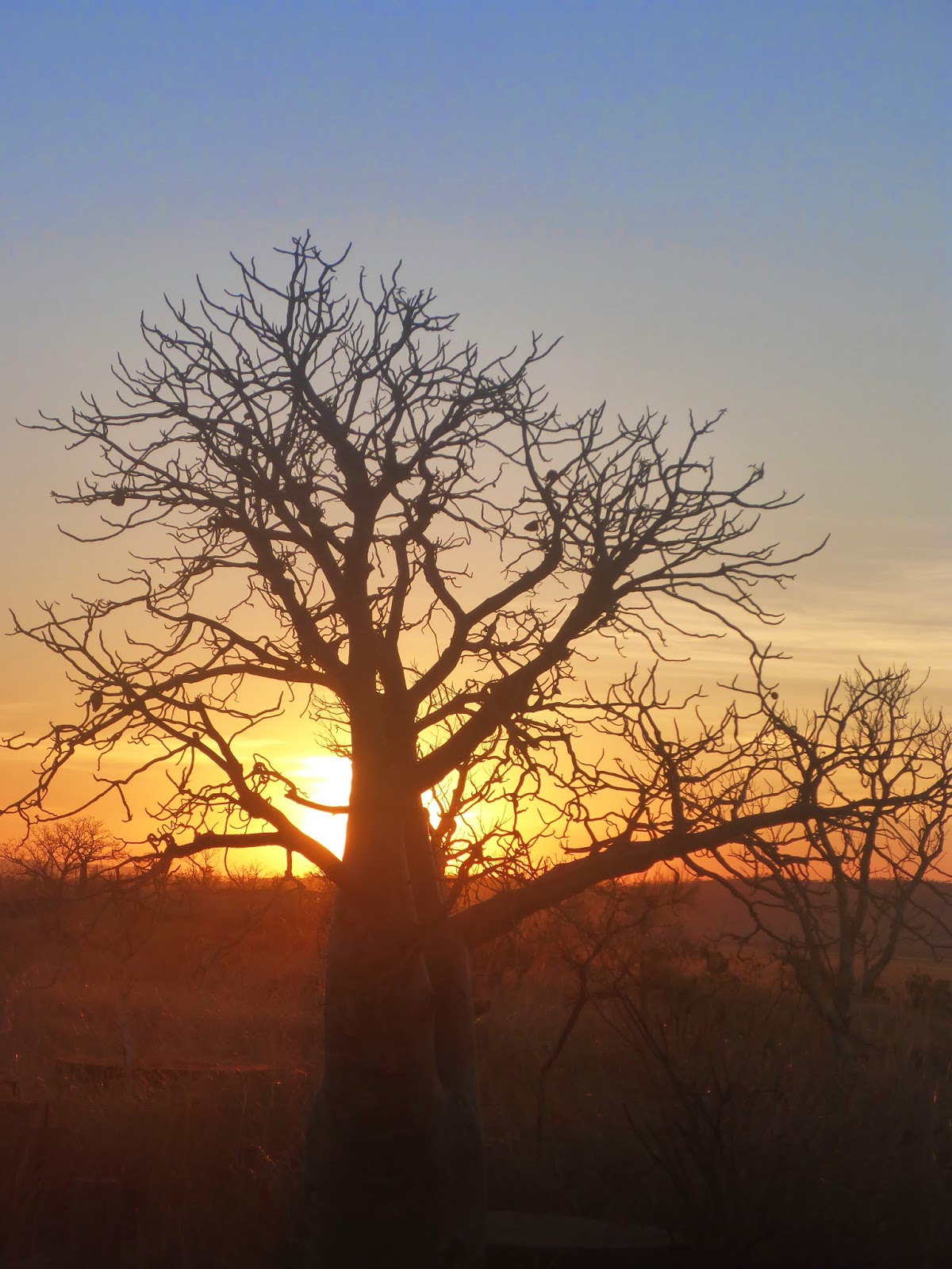
 The bush all around the Top End is full of Kapock trees which are very obvious when they are in flower as they loose their leaves before a brilliant yellow flower appears. The aborigines use these as their calendar tree as it tells them that the crocodiles are about to lay their eggs when the tree is in flower.
 Other bushes that really stand out in the Top End is the turkey bush with it’s brilliant mass of purple flowers. Aboriginal people would squeeze the juice from the flowers and use it as a pain killer. If the colours of the Kimberly were yellows and red, the colours of the top end are certainly orange with red and brown.
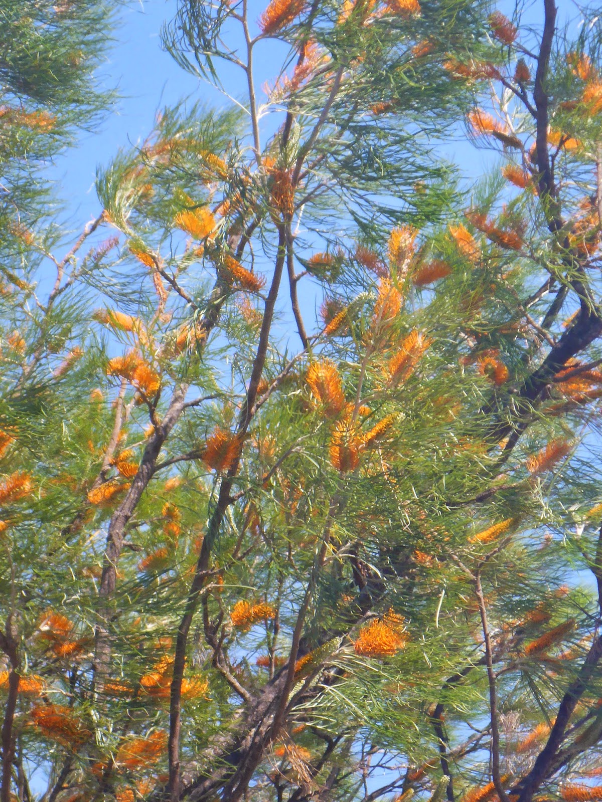 The Banksia trees in full flower throughout Litchfield National Park really show off the orange colours of the top end. From Litchfield it's soon time to move onto the big smoke of Darwin, but for now it is just great to sit back and enjoy what the territory has to offer.